Transportation
- Walkability: Unlike many downtown neighborhoods, Victory Heights provides veritably flat walking routes to the West and North, giving access to stretches of restaurants, stores, shopping centers, groceries, vehicle services, coffee shops, bakeries, and more within one mile. Although many North Seattle neighborhoods do not have sidewalks, NE Northgate Way and 15th Ave. both have dedicated sidewalks to provide access to these services. Although each with more dramatic hills, walking up to a mile East or South grants access to similar services – with the addition of extensive vehicle stores – to the Lake City and Maple Leaf neighborhoods, respectively, also with comfortable sidewalks. Walk Score gives Victory Heights a score of 64.
- Bus Transit: King County Metro offers numerous bus stops along our neighborhood’s borders: Lake City Way to the East, 15th Avenue to the West, and NE Northgate Way in the Northern center of Victory Heights. To check schedules, bus stop locations, and/or purchase an ORCA card, click here.
- Highway Distance: Access to I-5, the central highway running North and South through Seattle and much of the West Coast, is a quick 1.5 miles west of the Victory Heights Playground. This places our neighborhood roughly central between Portland, Oregon and Vancouver, British Columbia, a three-hour drive in either direction.
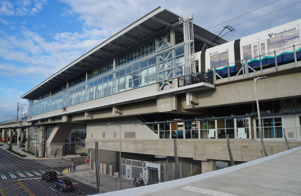
Link Light Rail: The Northgate Station of Seattle’s Link Light Rail opened in October of 2021, connecting North Seattleites all the way to Angle Lake, south of Seattle-Tacoma International Airport, via clean and efficient public transit. The Station is precisely one mile away from the Victory Heights Playground – the heart of our neighborhood – and provides on-site park & ride options. Tickets can be purchased at the station, or online, along with ORCA rider passes.
